

Pacific · Ag · Utility
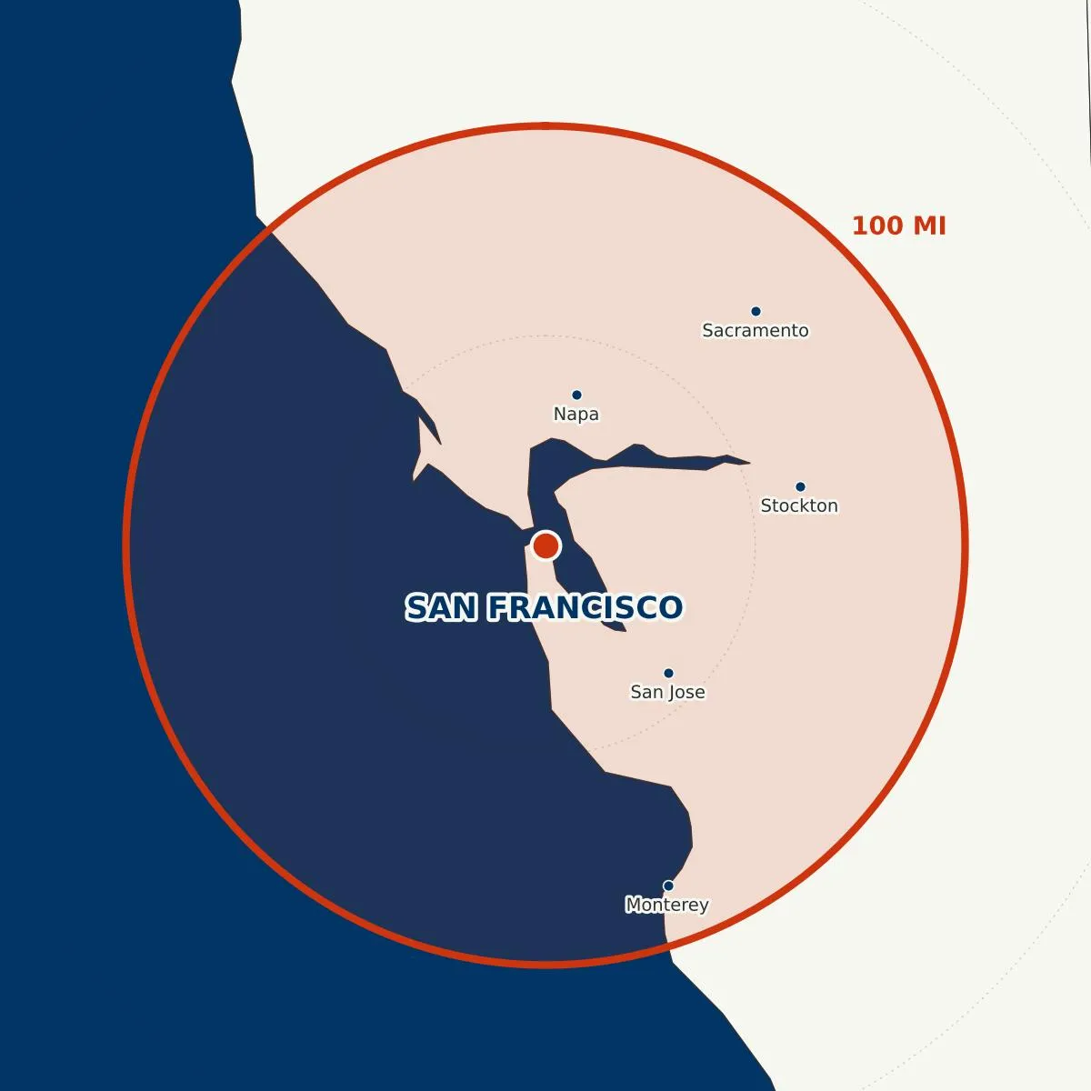
San Francisco
Bay Area · Central Valley agriculture · PG&E transmission · wine country · Monterey · the Sierra wildfire zone.
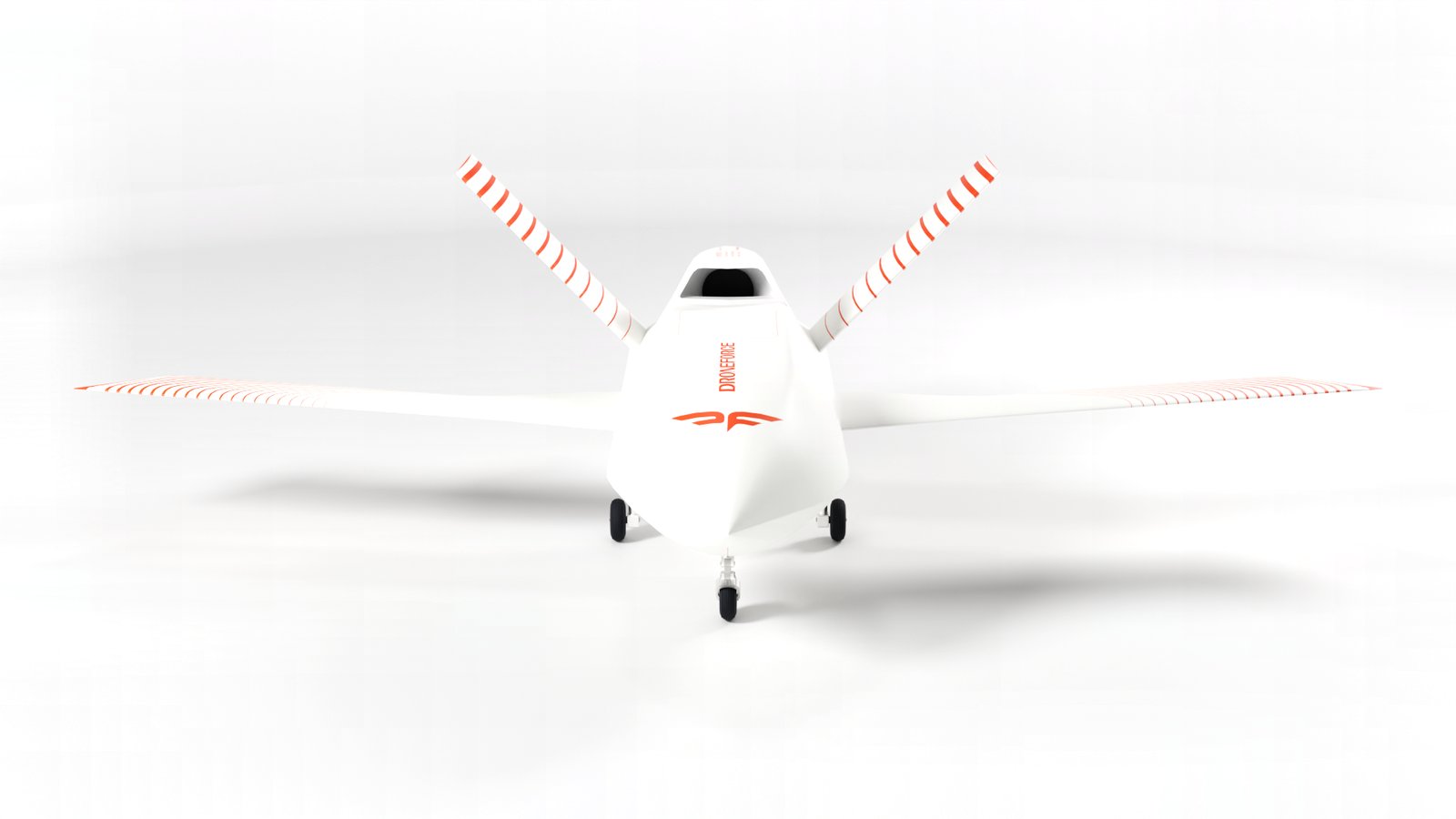
Droneforce captures real-time video imagery for businesses across pipeline, utility, rail, and agriculture operations. Long-range missions with manned-aircraft style sensors, and quads for close work.
Between short-range delivery drones and long-range industrial aircraft sits a 60–185 mile band of US airspace incumbents can’t economically cover: the BVLOS dead zone. It’s the Droneforce™ sweet spot. One aircraft unlocks the corridor; a networked Droneforce™ fleet upgrades your operation.
Range is abstract. A radius on a map is not. From any operating base, Droneforce™ 55 reaches anything inside a 100-mile circle, persistently, autonomously, without ground-based radio infrastructure. And because satellite coverage reaches everywhere, mission command runs from any desk on Earth: San Francisco, Houston, Detroit, or wherever the operator happens to be.
Bay Area · Central Valley agriculture · PG&E transmission · wine country · Monterey · the Sierra wildfire zone.
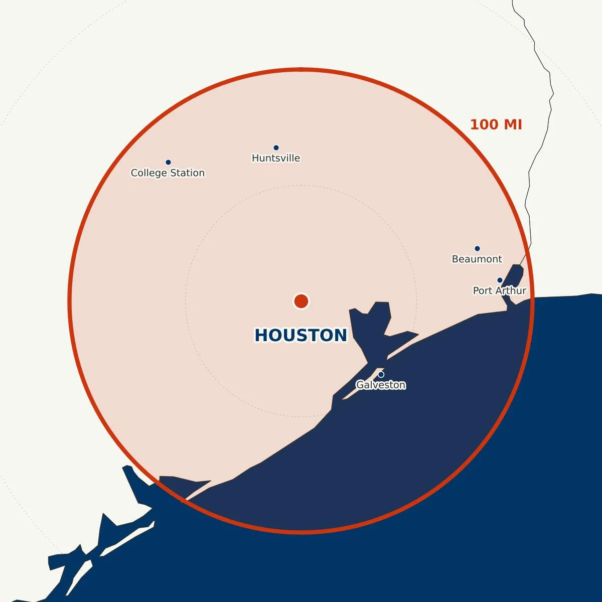
Gulf Coast petrochemical corridor · Port of Houston pipelines · East Texas oil & gas · Beaumont refining belt.
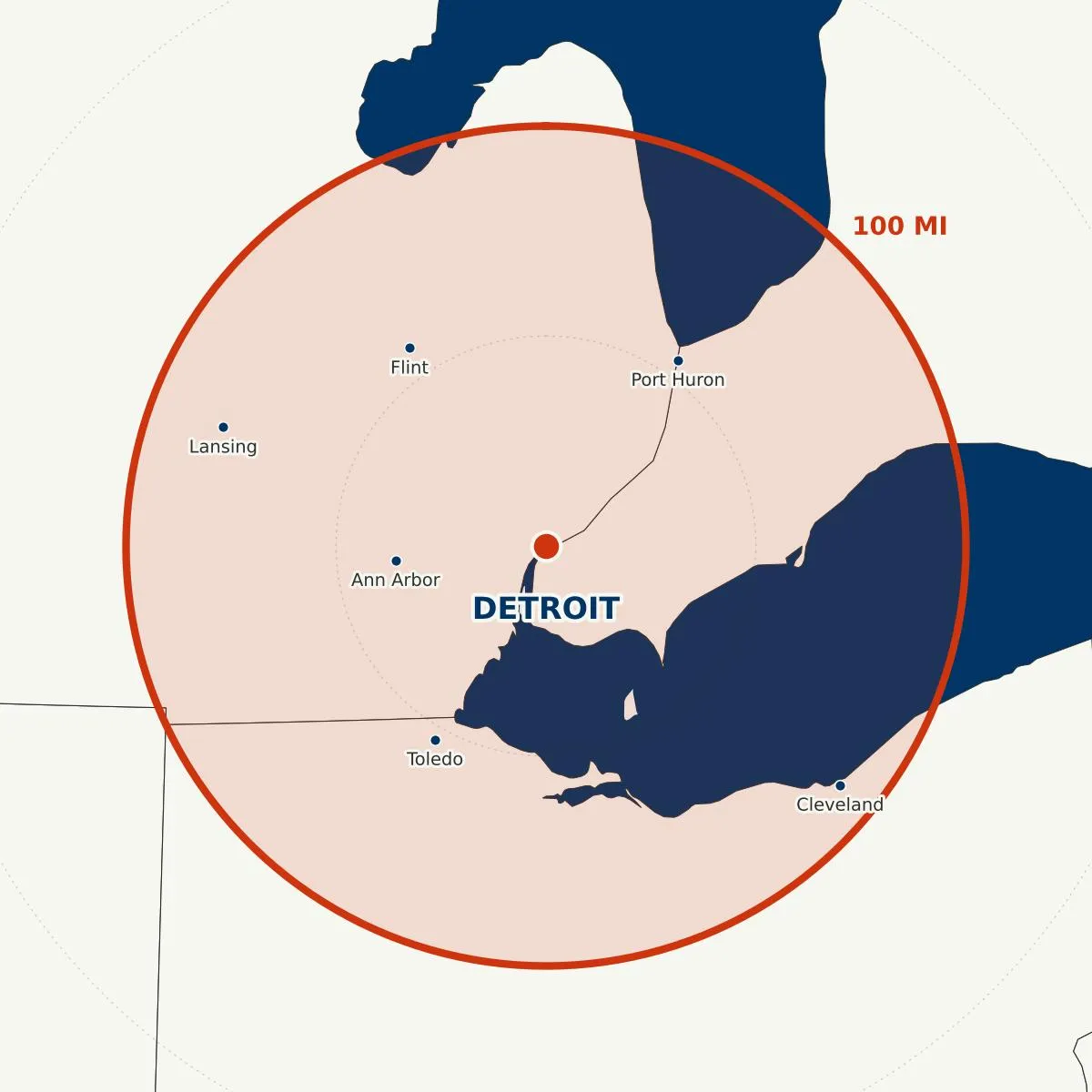
Great Lakes rail corridors · Michigan agriculture · southern Ontario gas infrastructure.
100-mile est. range per aircraft stacks into continuous coverage along the corridors that matter. One networked Droneforce™ fleet covers a multi-state pipeline end-to-end, deconflicted and scheduled by Droneforce One, integrated with the systems your operations team already uses.
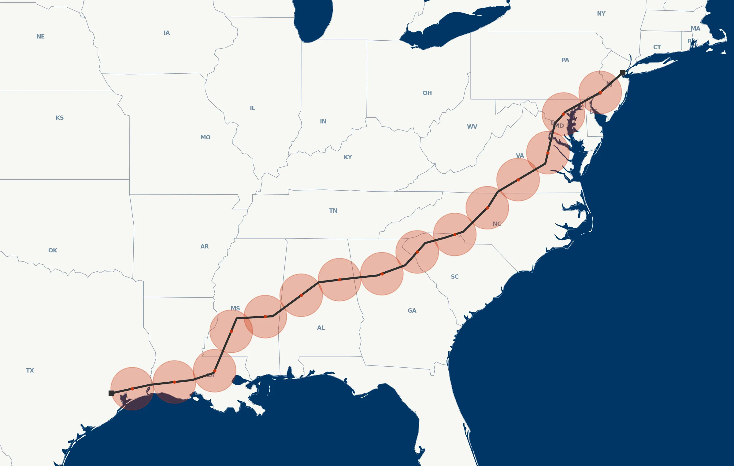
1,500 miles to image. End-to-end coverage.
An autonomous fixed-wing airframe engineered to manned-aircraft reliability and safety standards. Designed around a simple premise: if the aircraft can’t stay aloft long enough, reach far enough, and carry the right sensor, the data doesn’t exist. Every subsystem: airframe, propulsion, autonomy, payload, link. All engineered toward that outcome.
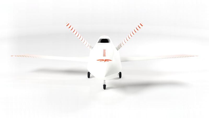
The electric motor is self-contained and quieter than an open rotor. Neighborly overhead for the communities below and safer on the ground for lightly trained crews and bystanders.
Methane sensors, hyperspectral imagers, mapping-grade LiDAR. Most small UAS can carry one at a time. Few have the modularity for the full pro-grade stack.
Live mission view from any desk, in-flight retasking as the operation evolves. Designed so the operator doesn’t need to be in the field, just connected.
Pipeline, power, farmland, and infrastructure are operations that power the country. Droneforce™ delivers persistent autonomous coverage at distances and economics that no previous generation of commercial platform could match.
Persistent corridor inspection for oil, gas, and utility rights-of-way. Automated anomaly detection, geo-referenced reporting, and revisit cadences the crews you have today can’t match.
Multispectral and EO/IR mission profiles across large acreage. Crop health indices, irrigation stress mapping, and season-long temporal stacks, at the revisit frequency the crop actually needs.
Pipeline, utility transmission, and rail are three expressions of the same capability: linear BVLOS corridor inspection with real-time data backhaul. The missions helicopters used to fly, at a cadence and cost profile that matches how fast the asset actually changes.
Search-and-rescue, disaster response, and US War Department operations run on a higher-performance Droneforce™ HP airframe. Distinct platform, program, supply chain, and team from the commercial fleet.
Prefer to chat before ordering? No problem. Operators, program officers, integrators, and investors can reach the right team through this form. Tell us what you need and we’ll respond within one business day.