

Mission-ready. Reserve yours for $250. You fly or we do.
Configure your aircraft, choose a payload loadout, and place a fully refundable reservation fee. Production slots are assigned in reservation order.
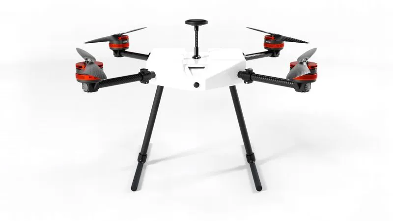
Droneforce DF800
Captures real-time video imagery that is pro-grade quality and beyond line of sight, simplifies your NDAA compliance burden, and gives your team the option of a mixed fleet.
- Range
- Up to 10 mi.
- Payload Bay
- Modular and Open Standard
- Link
- BVLOS autonomy over LTE
- Compliance
- NDAA · BlueUAS-alignedPart 107
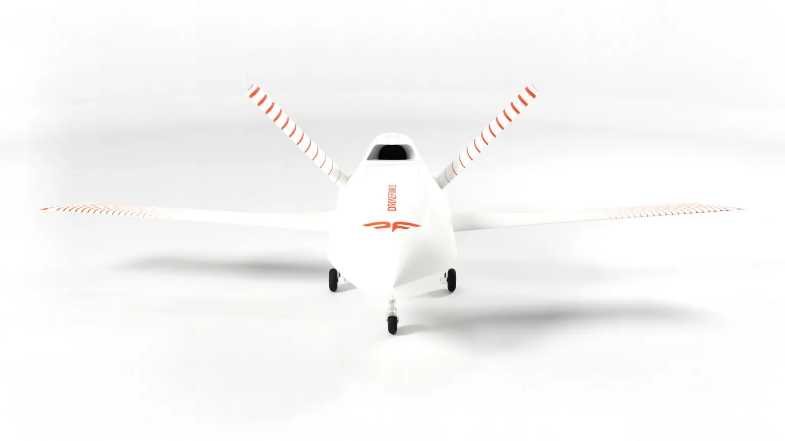
Droneforce 55
Autonomous fixed-wing UAS for corridor inspection: pipeline, utility, rail. Part 108-ready by design, satellite C2, pro-grade payload bay.
- Range
- Up to 100 mi BVLOS est.
- Payload Bay
- Modular and Open Standard
- C2 Link
- Satellite, global
- Compliance
- NDAA and BlueUAS componentsPart 108-ready
Payload loadouts, sold separately.
Loadouts are airframe-specific. Each kit is engineered to fit the payload bay of the aircraft it is built for.
Droneforce DF800
Agriculture Standard
Multispectral crop imaging.
- Multispectral
Agriculture Enhanced
Multispectral imaging plus high-resolution RGB.
- High-resolution RGB
Droneforce 55
Pipeline Integrity Imaging Standard
Thermal, high-resolution RGB and mapping LiDAR in one pass.
- Radiometric thermal
- High-resolution RGB
- Mapping LiDAR
Pipeline Integrity Imaging Enhanced
Adds multispectral to the pipeline-integrity sensor set.
- Multispectral
Utility & Right of Way Standard
High-resolution RGB with mapping LiDAR for corridor survey.
- High-resolution RGB
- Mapping LiDAR
Utility & Right of Way Enhanced
Adds radiometric thermal to the corridor survey set.
- Radiometric thermal
Utility & Right of Way Complete
Adds an EO/IR gimbal for live corridor inspection.
- EO/IR gimbal
Precision Agriculture Standard
Multispectral imaging with mapping LiDAR.
- Multispectral
- Mapping LiDAR
Precision Agriculture Enhanced
Adds high-resolution RGB to the multispectral set.
- High-resolution RGB
Precision Agriculture Complete
Adds radiometric thermal to the crop imaging set.
- Radiometric thermal